
Tell us the property or search area, what you need (photo/video, thermal, mapping, or lost pet & livestock recovery), and your timing. We’ll follow up quickly.
Aerial Intelligence for Properties, Roofs, & Construction
High-resolution aerial imagery, thermal inspections, and 3D mapping for businesses, contractors, and property professionals throughout Western Pennsylvania.
Services
Aerial Photo & Video
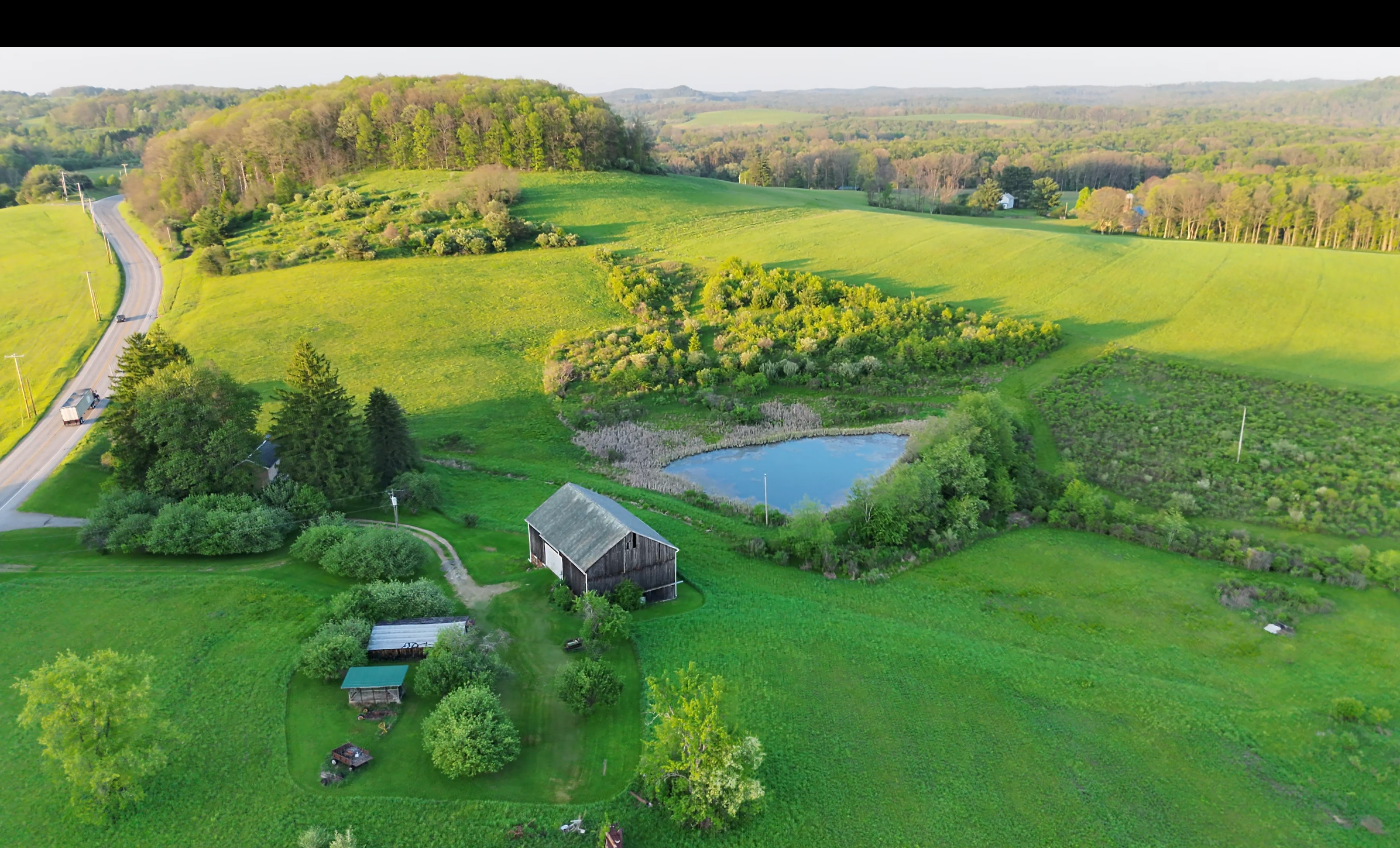
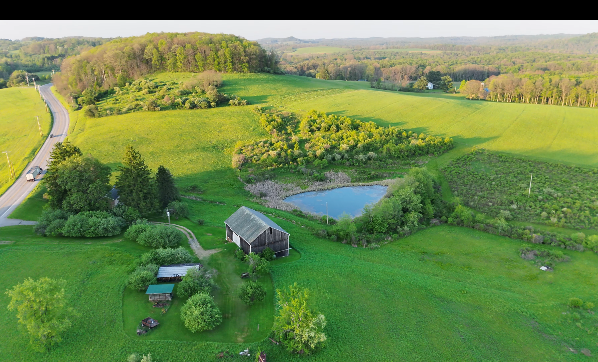
Listing-ready stills and short property videos that show the full parcel. Not just the driveway shot. Ideal for real estate listings, project updates, and marketing. Most shoots turn around the same week so your listing or client update goes live fast. Deliverables typically include high-res stills, a hero aerial, and an optional short clip ready for web or social.
Thermal Scans
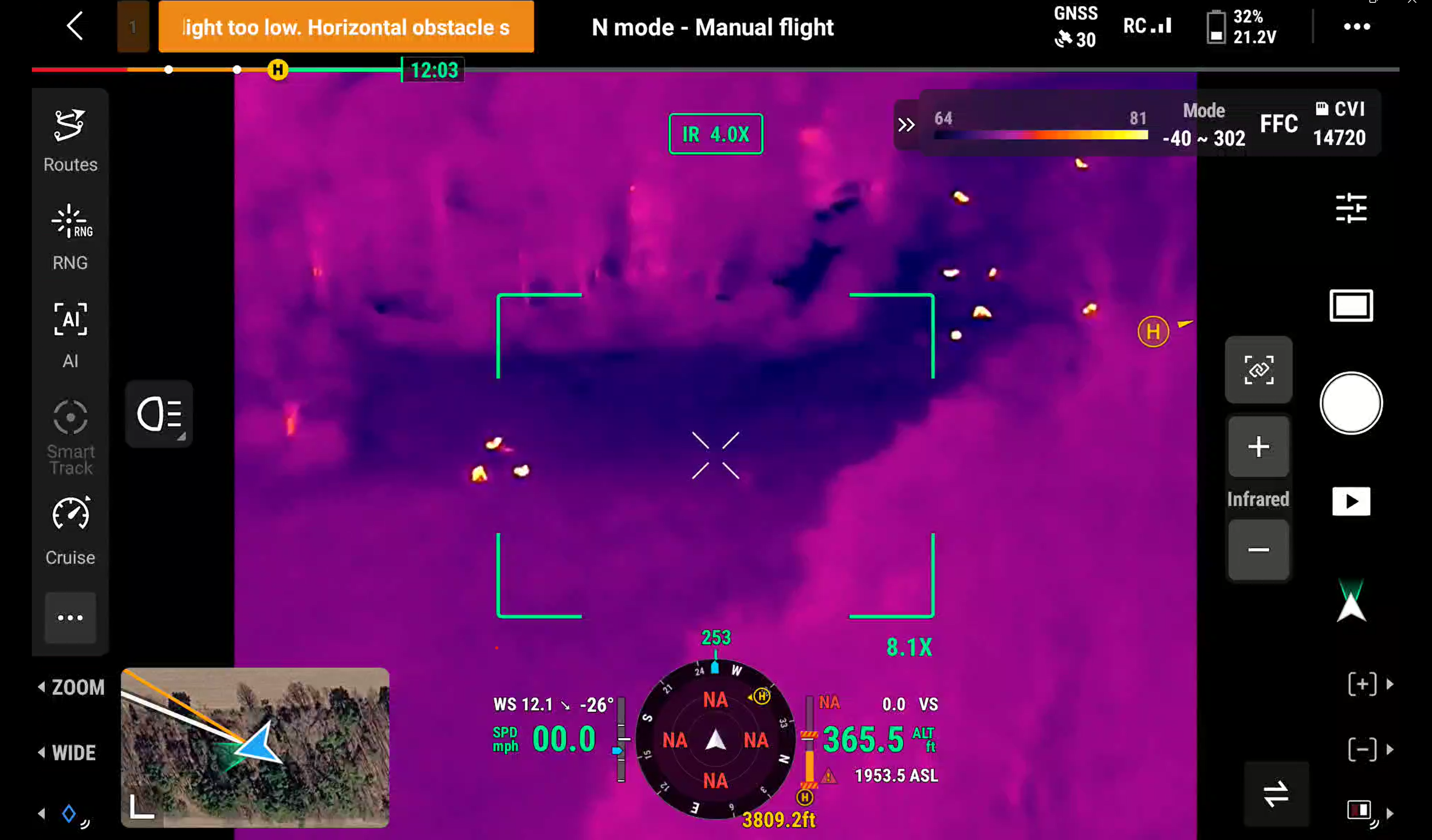
Roof and building thermal imaging to help spot moisture intrusion, heat loss, and other problem areas before crews commit. Useful for roofing bids, restoration work, and insurance documentation after storms. We capture clear overviews you can attach to quotes and claim files. Less guesswork, fewer unnecessary climbs, faster decisions on repair vs. replace.
3D / Orthomosaic Mapping
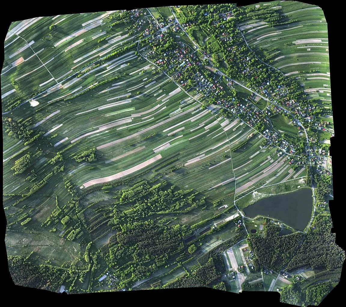
Clear site and parcel overviews for progress tracking, planning, and owner updates without an extra drive to the job every week. Orthomosaics and simple 3D context maps give project managers, general contractors, and clients a shared picture of the site. Great for construction progress, land/acreage context, and documenting conditions over time.
Lost Pet & Livestock Recovery
When a pet or livestock animal goes missing on acreage, woods, or rural property, thermal imaging lets us cover large areas quickly by focusing on heat signatures instead of searching every square foot on foot. Once we lock onto a warm source, we switch to high-resolution visual to confirm, drop a pin on the location you can open on your phone, and help guide you in. Timing matters — call or text as soon as you can. Best fit within our Brookville ~30-mile service area.
WHO WE HELP
Real estate
Brokerages and agents who want listing aerials and short videos that show the full property. Especially acreage, waterfront, and multi-town listings.
Roofing & restoration
Contractors who need roof orthos, storm documentation, and thermal scans to bid faster and support insurance files.
Construction
General Contractors and developers who want progress aerials and simple site maps that project managers and owners can actually use.
Insurance Companies
Carriers and adjusters who need fast, clear claim documentation. Roof and property aerials plus thermal scans that show damage extent without a full climb on every site.
SERVICE AREA
Based in Brookville, PA. We typically work within about 30 miles — including DuBois, Punxsutawney, Clarion, Reynoldsville, Falls Creek, Brockway, and surrounding communities.
If your job is just outside that range, ask. Many projects are still a fit.
Ready to book a flight?
Tell us the property or job site, what you need (photo/video, thermal, mapping, or lost pet & livestock recovery), and your timing. We’ll follow up quickly.
Email: msonner@apexaerialsystemsllc.com |
Phone: (814) 221-7518
